Who Was Ino Tadataka?
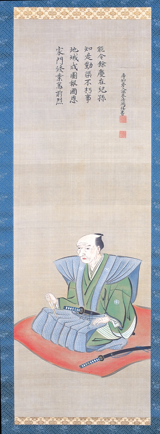
Ino Tadataka (1745–1818) was a late Edo-period surveyor. He first lived a complete life as a successful merchant in Sawara (now Katori City, Chiba Prefecture). Then, at 50, he handed his business to his heir, moved to Edo, and began studying astronomy from scratch. From 55, he set out on a nationwide surveying project that would eventually cover roughly 40,000 kilometers — about the distance around the Earth.
His best-known work, the Dai-Nihon Enkai Yochi Zenzu (commonly called the Ino Map), was completed by his disciples three years after his death and presented to the shogunate in 1821.
People still talk about Ino Tadataka today not just because of the dramatic numbers — age 55, 40,000 km — but because a man who had already succeeded in one career rebuilt himself in midlife and produced work that outlived him by centuries. This page is an index to the articles that answer the main questions people ask about him.
If you want to try the journey before reading, play Ino Tadataka Stepper. It is a 30-second browser mini game where left-right taps move a surveyor along Japan’s coastline.
Ino Tadataka at a glance
| Item | Detail |
|---|---|
| Born | 1745 (Enkyō 2) |
| Died | 1818 (Bunsei 1) |
| Birthplace | Kozeki Village, Yamabe District, Kazusa Province (today’s Kujūkuri Town, Chiba) |
| Base | Sawara, Shimōsa Province (today’s Katori City, Chiba) |
| Main business | Sake brewing, as a leading merchant family |
| Age 50 | 1795 — handed his business to his heir, moved to Edo, studied under Takahashi Yoshitoki |
| Age 55 | 1800 — set out on the first survey, to Ezo (Hokkaido) |
| Distance walked | About 40,000 km (roughly the circumference of the Earth) |
| Major work | Dai-Nihon Enkai Yochi Zenzu (the Ino Map) |
| Map completed | 1821, three years after his death, by his disciples |
11 ways to read Ino Tadataka
Ino Tadataka’s life is easier to picture when you split it into questions rather than try to fit it into one long story. The articles below are grouped into three themes.
A. Start with the basics
A-1. The simplest version of the story A short, plain-language introduction to who Ino Tadataka was — written so that even younger readers can follow it.
→ Ino Tadataka Made Simple: An Easy Introduction to the Man Who Mapped Japan
A-2. Why he is called “great” Age 55, 40,000 km, the circumference of the Earth — but the real reason is what is behind those numbers. Five reasons, organized.
→ Why Is Ino Tadataka Famous? A Simple Guide to the Man Who Mapped Japan After 55
A-3. What era did he live in? 1745–1818, dying 35 years before Perry’s arrival. Why “walking and measuring” became a job worth doing in late Edo Japan.
→ When Did Ino Tadataka Live? The Late-Edo Surveyor Who Died 35 Years Before Perry
B. The numbers and the life
B-1. A 74-year timeline A complete chronology from his birth in 1745 to the completion of the Ino Map in 1821, told in five periods.
→ Ino Tadataka Timeline: From 1745 to the 1821 Ino Map in Five Periods
B-2. At what age did he start? The short answer is 55. But the real turning point was at 50, when he gave up his business and moved to Edo to study.
→ How Old Was Ino Tadataka When He Started Surveying? Age 55, but the Turning Point Was 50
B-3. How far did he actually walk? About 40,000 km. What percentage of the Earth is that? How many kilometers a day, on average? The numbers, broken down.
→ How Far Did Ino Tadataka Walk? Unpacking the 40,000-Kilometer Number
B-4. Who taught him, and who walked with him? His teacher Takahashi Yoshitoki, his colleague Mamiya Rinzō, and his disciple Takahashi Kageyasu — three relationships that shaped the work.
→ Ino Tadataka’s Teacher and Disciples: The Network Behind the Ino Map
C. The work itself
C-1. How did he actually survey? Pacing, bearing, astronomical observation, mapping. The four-step method that turned walking into geography.
→ How Did Ino Tadataka Survey? Pacing, Bearings, and the Sky
C-2. What tools did he use? The ryōteisha (distance wheel), the magnetic compass on a staff, the bonten marker pole, and the quadrant for star observations.
→ Ino Tadataka’s Surveying Tools: The Equipment Behind 40,000 Kilometers
C-3. What is the Dai-Nihon Enkai Yochi Zenzu? The formal name of the Ino Map, broken down into its four parts, plus how it was finished three years after Ino’s death.
→ What Is the Dai-Nihon Enkai Yochi Zenzu? The Formal Name of the Ino Map, Explained
Why people still talk about Ino Tadataka
If you read his story only as “an old man who walked very far,” you stop at the headline. Look a step deeper and a more modern figure appears:
- As a real example of a career change — someone who switched into a new field at 50 and ended up doing work that survived him by centuries.
- As a practitioner who built accuracy by method — he combined pacing, bearings, and astronomical observation into a process that reduced error at national scale.
- As an unfinished project that was carried forward — he died before the map was complete, and his disciples spent three more years finishing it.
Read this way, Ino Tadataka is less “an impressive historical figure” and more someone who was honest about both continuing and handing things off.
Walk Ino Tadataka’s journey through your own steps
If the part of his story that pulls you in is the idea of walking across Japan one step at a time, you may also enjoy Footscroll, a step counter app inspired by Ino Tadataka’s journey.
It moves a small surveyor across a Japanese map drawn in the style of old washi paper, advancing in time with your daily step count — so an ordinary walk feels like a quiet continuation of his journey.
→ Footscroll — walk with Ino Tadataka
Quick questions
Who was Ino Tadataka, in one sentence?
A late Edo-period surveyor (1745–1818) who succeeded first as a merchant in Sawara, then at 50 moved to Edo to study astronomy, and from 55 walked about 40,000 km across Japan to build the foundation of the country’s first nationwide map.
Why is he famous?
Because he started a serious second career late in life and produced a nationwide map that was remarkably accurate for its time. His method — walking and measuring on the ground, then correcting positions with astronomical observation — was as important as his persistence.
At what age did he start surveying?
He set out on his first nationwide survey at 55. But the real turning point was at 50, when he handed his business to his heir and moved to Edo to study under Takahashi Yoshitoki.
How far did he walk?
About 40,000 km, almost the circumference of the Earth (about 40,075 km). Averaged across 17 years, that’s roughly 6.4 km a day.
Are the Dai-Nihon Enkai Yochi Zenzu and the Ino Map the same?
Essentially yes. Dai-Nihon Enkai Yochi Zenzu is the formal name; “Ino Map” is the popular name. The map was completed by his disciples and presented to the shogunate in 1821, three years after Ino’s death.
References
- Geospatial Information Authority of Japan: Ino Tadataka
- Geospatial Information Authority of Japan: Old Map Collection — the Ino Maps
- Geospatial Information Authority of Japan: Special Exhibition on the Ino Maps
- Katori City: About Ino Tadataka
Footscroll
Walk Ino Tadataka's Journey With Your Own Steps
Footscroll turns your daily step count into a quiet journey across a washi-style map of Japan, inspired by Ino Tadataka's survey routes.