Who was Ino Tadataka?
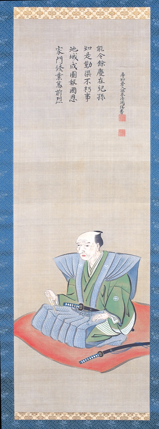
Ino Tadataka was a man who lived in Japan more than 200 years ago and walked all across the country to build Japan’s first accurate map.
“Made a map” might sound like a simple thing. But without Ino Tadataka, a reliable map showing the true shape of Japan would have come much later.
This page introduces Ino Tadataka in the simplest possible language.
The most surprising thing is his age
The most surprising thing about Ino Tadataka is how old he was when he started.
He began his big journey at age 55.
Even today, hearing “started something new at 55” feels remarkable. In the Edo period, when average life expectancy was shorter, it felt even more so.
And he didn’t just decide one day and walk out the door. At age 50, he handed his shop to his heir, moved to Edo (today’s Tokyo), and spent five years studying. Only then, at 55, did he set out.
Here’s the sequence:
- Ages 17–49: A merchant in Sawara (in today’s Chiba Prefecture)
- Age 50: Handed his business over and started studying in Edo
- Age 55: Set out to walk across Japan
He is one of history’s most famous examples of someone proving that it’s never too late to start something new.
How far did he walk?
The distance Ino Tadataka is said to have walked is about 40,000 kilometers.
That’s hard to picture, so here’s a comparison: the distance around the Earth is also about 40,000 kilometers. So Ino walked a distance roughly equal to going around the world — on foot.
And he didn’t just stroll. He measured as he walked. He counted his steps to track distance, checked his direction, looked at the stars to fix his position, and over 17 years walked all across Japan.
Why did Japan need a new map?
During the Edo period, there was no accurate nationwide map of Japan. There were rough outline drawings, but nothing with the coastlines and positions clearly measured.
A good map matters for a lot of reasons:
- Moving goods efficiently, knowing the best routes
- Understanding where to defend the coast if foreign ships appeared
- Having a shared picture of what the country actually looks like
So producing a real nationwide map was important work for Japan. Ino Tadataka’s map, later given the formal name Dai-Nihon Enkai Yochi Zenzu, became that map — and was used for exactly these purposes.
He never saw it finished
This is the most moving part of the story.
Ino Tadataka never saw the map completed. He died in 1818 at age 73 — before the work was done.
But his students said, “We have to finish what our teacher started,” and kept working for three more years. In 1821, three years after his death, the map was finally complete.
“Starting something, and having others care enough to finish it” — that is also part of what Ino Tadataka’s story is about.
The short version
Ino Tadataka handed his shop to his heir at 50, studied for five years in Edo, then at 55 walked across Japan — a distance about equal to going around the Earth — over 17 years, and built the foundation of Japan’s first accurate nationwide map.
The map was finished three years after his death, by his students.
That’s the whole story in two sentences. If you want to go deeper from here, the related articles below will help.
Quick questions
Who was Ino Tadataka?
A man who lived in Japan more than 200 years ago. He walked all across Japan — roughly the distance around the Earth — and helped create Japan’s first accurate nationwide map. Born 1745, died 1818.
How old was he when he started?
He set out on his main journey at 55. First he spent his life as a merchant; at 50 he handed his shop to his heir and spent five years studying; then at 55 he began walking.
Why is he impressive?
Because he started a brand new career at 55, an age when most people have already stopped, and kept at it for 17 years — walking around the equivalent of the Earth and building Japan’s first accurate map.
When was the map finished?
In 1821. Ino died in 1818, so he didn’t see it. His students cared enough to finish it three years later.
Want to learn more?
- Who Was Ino Tadataka? The Edo Surveyor Who Restarted His Life at 50
- Ino Tadataka Timeline: From 1745 to the 1821 Ino Map in Five Periods
- Why Is Ino Tadataka Famous? A Simple Guide to the Man Who Mapped Japan After 55
- How Far Did Ino Tadataka Walk? Unpacking the 40,000-Kilometer Number
- Footscroll — walk with Ino Tadataka
References
Footscroll
Walk Ino Tadataka's Journey With Your Own Steps
Footscroll turns your daily step count into a quiet journey across a washi-style map of Japan, inspired by Ino Tadataka's survey routes.